Industrialization and urbanization have
drastically changed the face of our planet, and the number of untouched
natural habitats for wildlife is shrinking. Conservationists are
trying to understand remaining biodiversity in order to
create sanctuaries that preserve it. One of the challenges they face is
how to make connections among information derived from different methods
of evaluating the Earth's life.
One approach to getting data on biological
diversity involves field inventories of species. Another evaluates
ecosystem processes by dividing the Earth into categories based on
vegetation (forests or grasslands, for example) and subsequently
analyzing properties of that category's plant life. But critical
information is often missed when only one method is employed.
But these two types of inventories are
actually linked. This link goes by the name "functional diversity,"
which represents the features of organisms that influence both their
individual fitness and their contribution to the function of ecosystems
that contain them. In a recent investigation published in Science, a team of ecologists has used an advanced aerial imaging method to explore the functional diversity of plant communities.
A good grasp of functional diversity is
critical to understanding this study. At its core, functional diversity
is a type of biodiversity that describes the activities and processes
that organisms engage in as they interact with their surrounding
community and ecosystem. To give an example, one plant may produce fruit
that feeds other species while extracting nitrogen from the soil.
Mapping plant traits
Plants are an integral part of any ecosystem,
and their diversity is inextricably linked to the biological, chemical,
and physical processes that occur within that ecosystem. Though our
understanding of plants' roles in ecosystems has grown over the years,
we don't know enough about how their traits vary over larger areas. This
makes coming up with effective conservation plans challenging.
A strong understanding of the functional
diversity of an ecosystem can take years of study. The ecologists behind
the new work wondered whether it was possible to get a decent
understanding in a shorter amount of time. So they attempted to track
functional diversity through remote measurement of the forest canopy,
using traits that are able to indicate the presence of different plant
species and communities, as well as their health.
In order to identify these critical plant
canopy traits, the team took a step back to consider the most critical
processes in plant growth and health. After identifying these processes,
the ecologists were able to identify measurable traits directly
associated with these processes. The most obvious one is photosynthesis,
the process by which all plants use energy from sunlight to produce
sugar. Photosynthesis is highly dependent on nitrogen and water in the
leaves, as well as the leaf mass per unit area, all of which can be
sensed.
Next, the team expanded its consideration to
things that depend on the local conditions of a plant's habitat, such as
topographic and soil features. The presence of key chemicals in leaves,
like phosphorous and calcium, is indicative of these processes. The
presence of these chemicals is also closely related to changes in the
species that are present in tropical forests, and so they can be used to
track turnover of the canopy.
Finally, the scientists thought about
long-term processes, like evolutionary changes and response to
pathogens. These can be tracked through defense compounds found in
leaves, such as polyphenols and lignin.
Focusing on seven canopy traits, the researchers used remote sensing to explore the functional diversity of plant communities.
Peruvian forests
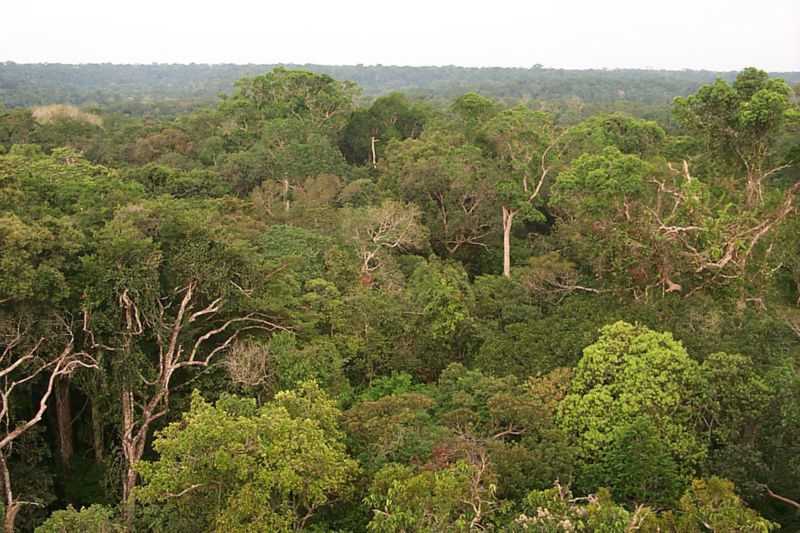
The team focused on Peruvian tropical forests
as a model system, since they are exposed to a range of tropical
conditions, pressures from land-use, and attention of conservationists.
Combining advanced aerial imaging with a form of artificial
intelligence, the ecologists generated maps of a large portion of the
tropical biosphere, detailing several aspects of functional diversity.
Analysis revealed that the seven forest canopy
traits selected by the ecologists were largely uncorrelated, so they
provide a breadth of information. Mapping these traits revealed
functional variation in the forests, driven by things like geology,
elevation, hydrology, and climate.
To better understand what their data told
them, the ecologists used 301 well-studied forest inventory plots
located in the Peruvian Andes and Amazon. They found that canopy
functional composition, based on information from their individual trait
maps, was related to the species present, which were identified through
the field inventory data.
The team integrated the seven mapped canopy
traits to identify common functional properties among coexisting
species. Using this information, they identified 36 functional classes
of forest, which clustered into six forest functional groups. The
researchers suggest that their spatially explicit data may be used to
bridge the gap between the distribution of plant species and the
biological processes that go on in forests.
The ecologists were particularly interested in
understanding how their data could be used to further conservation
efforts. Each functional forest group was analyzed relative to areas
that are threatened, protected, or remain conservation opportunities
based on government land allocation data. The researchers found that in
each forest, up to 53 percent of the mapped area could be an opportunity
for new conservation action, based on government information of how the
forest is currently allocated.
This information could be used to guide
conservation initiatives to mitigated continued loss of forests from the
Andes-to-Amazon. But the newly minted method is far more important,
since it works with data that's relatively quick and easy to obtain.
That makes evaluating other regions for understanding of conservational
opportunities easier.
Comments
Post a Comment